Good to know
- Tickets
- An entrance fee is charged, per vehicle or per person, and the pass lasts several days. Cards only, no cash; check nps.gov for current rates.
- Time needed
- Half a day for the film, museum and driving tour; a full day to add trail walks and the Pry House Field Hospital Museum.
- Best time
- April to June or September to October. The September 17 anniversary brings special ranger programs.
- Getting there
- The park is just north of Sharpsburg, MD. Hagerstown airport is about 20 minutes away, and Baltimore and Washington Dulles airports about 1.25 to 1.5 hours.
Where to stay nearby
Advertisement
Ad space · 728 × 90
Antietam National Battlefield questions
Where should I start at Antietam?
Start at the visitor center on Dunker Church Road, open daily 9 am to 5 pm. A 25-minute film runs on the hour and half hour, and rangers can point you to the tour road.
Can I walk across Burnside Bridge?
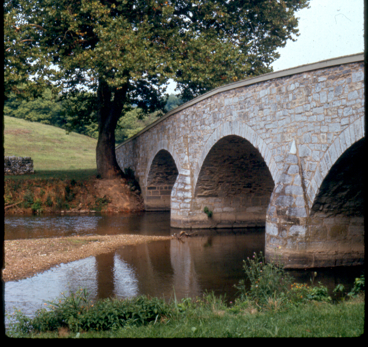
Yes. The stone bridge was restored in 2016 and is open to walkers, with a short trail from the parking area and views of the creek Union troops fought to cross.
What is Bloody Lane?
A sunken farm road where Confederate troops held off Union attacks for about three hours. An observation tower at the end of the lane gives a wide view of the field.


