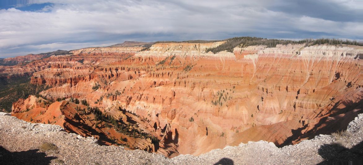
Good to know
- Tickets
- The monument charges an entry fee, covered by the America the Beautiful pass. Check nps.gov for current rates. Cards only, no cash.
- Time needed
- 2 to 4 hours for the overlooks and a short rim hike.
- Best time
- July and August for wildflowers and open facilities; September for fall color. The visitor center usually closes by mid-October.
- Getting there
- Brian Head is the closest town. Cedar City Regional Airport is about 40 minutes away by car; Las Vegas is about 3 hours.
Where to stay nearby
Advertisement
Ad space · 728 × 90
Cedar Breaks National Monument questions
Is Cedar Breaks open in winter?
The road through the monument closes to cars from about mid-November to mid-May, but you can reach it by snowshoe, ski or snowmobile. Check nps.gov before you go.
Is Cedar Breaks like Bryce Canyon?
Yes, it has similar colorful rock, but it sits higher and is far less crowded. The two are about 1.5 hours apart.
What are the best hikes at Cedar Breaks?
The Spectra Point and Ramparts Overlook trail and the Alpine Pond Trail are the most popular short hikes.


